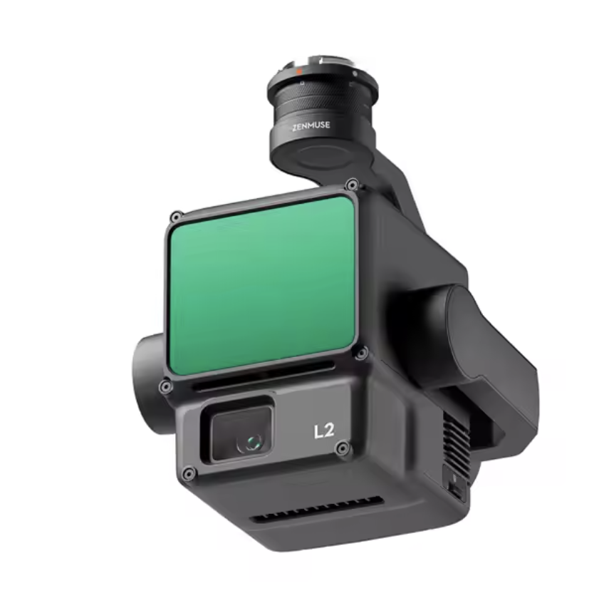
Zenmuse L2 Camera
High-Precision LiDAR Mapping Camera
£10000.00
Discover unparalleled precision with the Zenmuse L2 Camera, a top-tier professional-grade camera engineered for cutting-edge LiDAR mapping. Boasting state-of-the-art imaging technology, the Zenmuse L2 excels in delivering detailed aerial surveys and sophisticated 3D mapping, making it indispensable for industrial applications. This high-performance camera ensures reliable accuracy, guaranteeing your projects are executed with utmost precision. Available in a sleek and durable design, the Zenmuse L2 stands out as the ultimate tool for your advanced surveying needs.
The DJI Zenmuse L2 Payload consists of a powerful LiDAR module, a 20 MP RGB camera with 4/3 CMOS and a high-accuracy IMU system. The Zenmuse L2 is seamlessly compatible with the Matrice 350 RTK and Matrice 300 RTK, and with DJI Terra it can provide real-time 3D data at any time of the day. The L2 can efficiently capture the details of complex structures and can deliver highly accurate reconstructed 3D models.
Faster point cloud capture and accurate scanning of complex subjects over a wider area are both possible with the Zenmuse L2. Users can preview, replay, and analyse point cloud models on-site while activities are underway thanks to Task Quality Reports produced by DJI Terra, which provides an easy-to-use one-stop solution for increasing overall effectiveness.
The Zenmuse L2 can be highly useful in land surveying and mapping, topographic mapping, agriculture, forestry management, electricity management, AEC and surveying, energy, infrastructure management, etc.